

Program overview
The Geomatics/Surveying Engineering Technology program provides specialized multidisciplinary training in collecting, analyzing, managing, and distributing spatial location data for infrastructure, mapping, and land development:
-
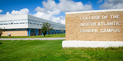
Common Engineering First Year: Starts with a common initial engineering technology year where students complete their first two semesters before transferring (from Gander campus to Ridge Road campus) to complete the intersession and upper-year coursework.
-
Core Technical Curriculum: Integrates GNSS (Global Navigation Satellite Systems), astronomical navigation, hydrographic/marine surveying, GIS analysis, spatial data management, aerial photography, map design, and remote sensing image analysis.
-
Practical Survey Disciplines: Applies theoretical principles and modern tools across major surveying branches, including Plane Surveying, Cadastral (legal land surveying), Photogrammetry, Geodetic Control Networks, and Construction Surveying layouts.
-
Accuracy & Quality Standards: Utilizes industry standards and specifications to analyze positional accuracy, manage spatial databases, and prepare precise land records and engineering drawings.
-
Legal & Scientific Foundation: Grounded in advanced mathematics, physics, statutory and common law, communications, and economic principles governing land management and surveying practices.